West Hills History and Demographics
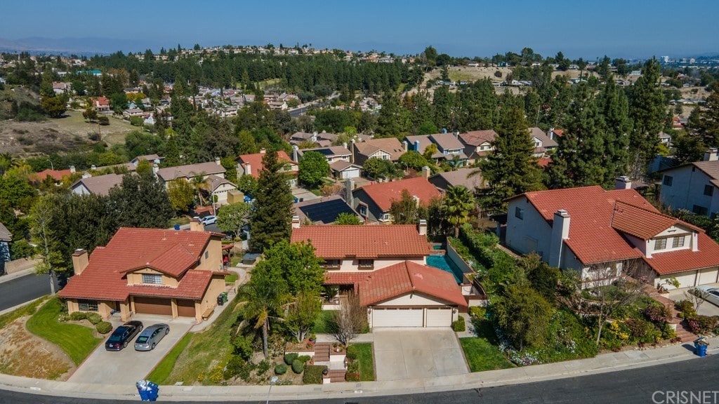
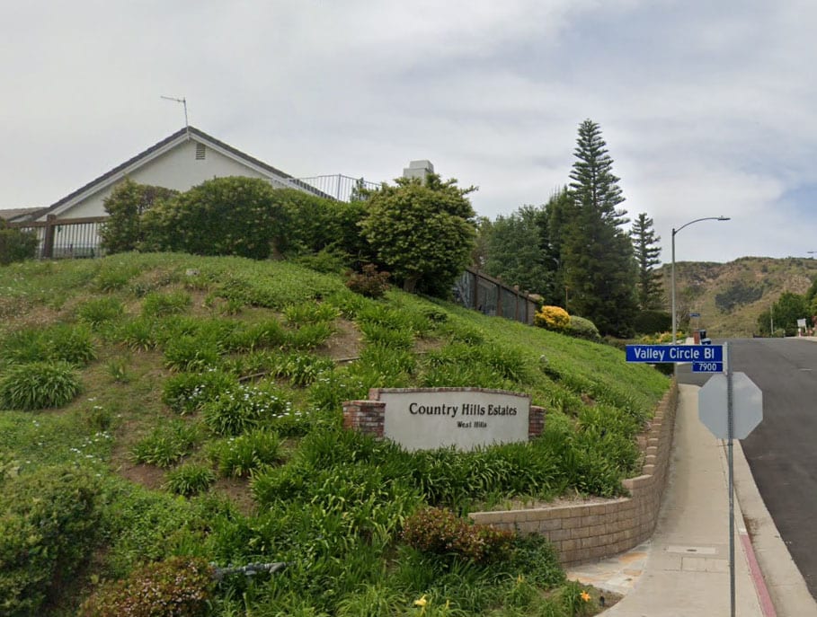
West Hills is an affluent residential and commercial neighborhood in the western San Fernando Valley region of Los Angeles, California.The percentage of residents aged 35 and older is among the highest in Los Angeles County. West Hills (formerly joined with Canoga Park) is located in the West San Fernando Valley (SFV) in the county of Los Angeles and about 30 minutes (depending on traffic) from Downtown Los Angeles. It is off of the 101 Ventura freeway offramp Valley Circle Blvd/Mullholland Highway.
West Hills Real Estate great property value vastly depends on its favorable location and good climate.
The neighborhood was formerly the home of many Native American tribes, and during the early Spanish and Mexican era was part of the Mission San Fernando Rey de España. In the American era, West Hills was part of Owensmouth, which was renamed Canoga Park in 1930. West Hills was established in western Canoga Park and retained its present name in 1987.
California was admitted to the United States in 1850, with Spanish and Mexican land grants requiring a federal land patent to retain ownership.The United States Public Land Commission patented the Rancho to original grantees Odón Eusebia, Urbano, and Mañuel in 1876. In 1912 the Chumash heirs sold Rancho El Escorpión to George Platt. He established a dairy operation on renamed Platt Ranch variously called Ferndale, ‘escorpion,’ or Cloverdale Dairy.The Rancho El Escorpión-Platt Ranch was not incorporated into Los Angeles and its water system until 1958 and was left undeveloped until 1961.
West Hills was originally part of Owensmouth (founded 1912) and renamed Canoga Park (1931).
Under the leadership of Joel Schiffman, residents of a three-square-mile area in western Canoga Park began a petition campaign in 1987 to separate from the larger community and establish a neighborhood of their own to be called West Hills, the same name that a 303-home subdivision in a nearby unincorporated area had carried for years. The Los Angeles city district of 4,700 single-family homes and 35 businesses would be bounded by Roscoe Boulevard on the north, Woodlake Avenue, Sherman Way and Platt Avenue on the east, Victory Boulevard on the south and the county line on the west.
West Hills Landmarks
Orcutt Ranch
Orcutt Ranch Estate, (“Rancho Sombra del Roble”) to the Orcutts, is the 1920 adobe residence, gardens, and citrus orchards of William Warren Orcutt, an early Union Oil Company executive.The park has an entry through craftsman style stone gates to a parking area with natural habitat landscaping on Roscoe Boulevard near Valley Circle Boulevard. The park, now named the Orcutt Ranch Horticulture Center, offers: self-guided strolling, exploring and scheduled house tours;public community gardens;annual public citrus harvests; and garden wedding and special event facilities. Orcutt Ranch is a registered-protected Los Angeles Historic-Cultural Monument.
Shadow Ranch
Shadow Ranch Park, formerly the Workman Ranch, on Vanowen Street just east of Fallbrook Avenue. Alfred Workman was a muleskinner who emigrated from Australia, winding up running a massive wheat farm owned by a syndicate led by Isaac Lankershim and Isaac Van Nuys. He bought the ranch in 1869, and from then to 1872, Workman built a home for his wife, Henrietta Feliz, and himself by adding onto an existing adobe. The Australian had eucalyptus trees imported and planted on the ranch, and some folks claim all the eucalyptus trees in California stem from Workman Ranch. Workman Ranch was acquired by a married, screenwriting couple, Colin Clements and Florence Ryerson (the latter co-wrote the screenplay for The Wizard of Oz while living here). She renamed the estate Shadow Ranch for the amount of shade provided by the numerous eucalyptus trees planted by Workman decades ago. William Wyler’s movie The Children’s Hour, based on the play by Lillian Hellman, was filmed here in 1961.Shadow Ranch Park is an L.A. City Park with lighted basketball courts, a children’s play area, football and soccer fields, meeting and community rooms, a baseball diamond, and picnic tables. Organized youth sports are also offered at this registered-protected Los Angeles Historic-Cultural Monument.
Open-space parks
All of these large Parks are open for walks, hiking, mountain biking, and equestrian riding; sunrise to sunset.
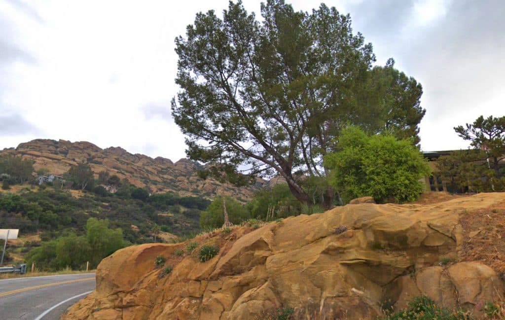
El Escorpión Park: The area landmark El Escorpión Peak centered in the park offers hikes with impressive views of the Valley. The trailhead and parking are at the western end of Vanowen Boulevard, west of Valley Circle Boulevard (Castle Peak Park).
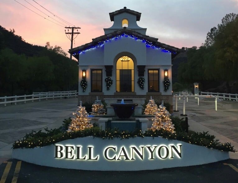
Bell Canyon Park is directly adjacent on the northwest of El Escorpión Park, with trails along natural Bell Creek and up the north side of the Peak. The trailheads and parking are off Bell Canyon Boulevard just before the ‘Bell Canyon community’ gatehouse, west of Valley Circle Boulevard. Pedestrian access follows up the creek past the gated road to later loop around the Peak to El Escorpión Park.
Upper Las Virgenes Canyon Open Space Preserve parking and trailheads are at the western end of Victory Boulevard, west of Valley Circle Boulevard. Trails cross the huge natural park and connect west to adjoining Cheseboro-Palo Comado Canyon Park section of the Santa Monica Mountains National Recreation Area, north to El Escorpión and Bell Canyon Parks, and south to Hidden Hills, creating a generous greenbelt for West Hills. There are also scheduled evening moonlight hikes, and daytime events.
Roscoe/Valley Circle Park is a rustic linear open space park with panoramic views and an equestrian trail, west of Valley Circle Blvd. with access at Roscoe Boulevard, at West Stagg Street, and at Quiet Hills Court.
Neighborhood parks
Knapp Ranch Park has two sections: Kittridge Avenue east section offers these outdoor unlighted sports facilities: baseball diamond, basketball courts, a children’s play area, picnic tables, and tennis courts; Wooded Vista and Twisted Oak Drive west section offers walks, a picnic area, and panoramic views.
The West Hills Sports Center/Adam Bischoff Soccer Fields has a pocket park, recreation center, and soccer fields. It is on the west side of Valley Circle Blvd. near Vanowen.
Mae Boyar Recreation Center has basketball courts and a playground, on Highlander Rd.
Taxco Trails Park is a pocket park, with a children’s play area and picnic tables on Platt Ave. and Saticoy.
Lazy J Ranch is a pocket park, with a children’s play area on Valley Circle Blvd.
Chase Park has a children’s play area and picnic tables.
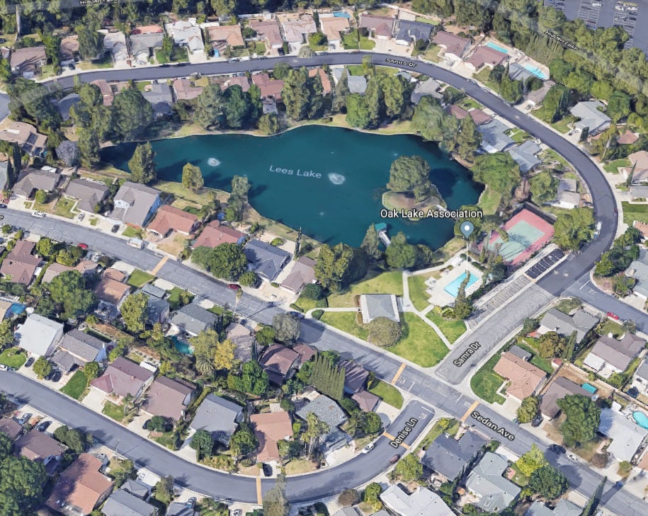
Hidden Lake Park, a neighborhood park at Lees Lake, Sedan Ave. off Roscoe Boulevard, directions at gate.
Castle Peak Park is a small neighborhood open space park for picnics on Valley Circle Blvd., (not to be confused with El Escorpión [Peak] Park).
Four Oaks Park is a neighborhood pocket park, with a children’s play area and picnic tables, on Cohasset and Melba Ave.
Other historic-cultural landmarks
Francis Lederer Estate
The Lederer Estate, of stage actor and early film star Francis Lederer (1899–2000), has two separate structures and their settings that are each a registered Los Angeles Historic-Cultural Monument—LAHCM. These are: the former residence and its outdoor patio rooms, gardens, and grounds; and the equestrian stables and its patios. Lederer was the honorary Mayor of Canoga Park (pre-West Hills) for many years. In retirement he taught theatre classes, and was a member of the L.A. City Parks Board of Directors. The landmark buildings are located west of and near the West Hills Post Office and West Hills Hospital.
Francis Lederer Residence — LAHCM No. 204, a very distinguished residential example of the Mediterranean Revival, Spanish Colonial Revival, and Mission Revival styles of architecture integrated together, with the interior and exterior design and artisan detailing of museum quality.
The house was begun in 1934 and constructed over a period of years, with artisan builder John R. Litke, by Lederer on his then 300-acre Canoga Park ranch. It sits atop a hill overlooking the Valley and surrounding mountains.
The exterior walls use stone quarried from the site. The residence wraps around a large central courtyard with a fountain and outdoor fireplace, and the various rooms opening onto it. The materials were chosen with care and painstakingly employed in such a manner as to make the resulting structure appear very old. The imported Spanish and Italian furnishings and artworks are of particular interest, dating from the 14th to 19th centuries. The estate’s residence was to become a public museum housing the Canoga-Owensmouth Historical Society, a community arts center, and its gardens and open space a city park; however it is currently for sale by the heirs (2013).
Francis Lederer Stables — LAHCM No. 135, designed and built in a rustic and authentic Mission Revival architectural style. It was also designed by Francis Lederer and John R. Litke in 1936 and used locally quarried stones.It was originally on the natural bank of free-flowing Bell Creek, before its channelization in the late 1950s.Through Mrs. Lederer’s efforts in the 1970s, the stables opened to the community as the Canoga Mission Gallery—now the Hidden Chateau event venue, on western Sherman Way.
Peppergate Ranch
The 29-acre (120,000 m2) Peppergate Ranch was located between Orcutt Ranch and Chatsworth Reservoir. The ranch’s residence was designed by master architect Paul R. Williams (1894–1980) in the Ranch Style.[64] It was built in 1939 for Talton R. Craig, founder of the Craig Movie Supply Company. The T.R. Craig Residence is a Los Angeles Historic-Cultural Monument (#992) (in 2011), located on Pinelake Drive. Peppergate Ranch was subdivided, as Woodlake Estates and Pinelake Estates, in the 1960s.
West Hills Demographics.
The 2010 United States Census[18] reported Calabasas to have a population of 23,058. The population density was 1,780.4 people per square mile (687.4/km²). The racial makeup of Calabasas was 19,341 (83.9%) White (79.5% non-Hispanic), 375 (1.6%) African American, 48 (0.2%) Native American, 1,993 (8.6%) Asian, 8 (less than 0.1%) Pacific Islander, 368 (1.6%) from other races, and 925 (4.0%) from two or more races. Hispanics or Latinos of any race were 1,481 persons (6.4%).
The Census reported that 23,049 people lived in households, 9 lived in non-institutionalized group quarters, and none were institutionalized. Of 8,543 households, 3,320 (38.9%) had children under the age of 18 living at home, 5,124 (60.0%) were opposite-sex married couples living together, 942 (11.0%) had a female householder with no husband present, 315 (3.7%) had a male householder with no wife present, 310 (3.6%) were unmarried opposite-sex partnerships, and 31 (0.4%) were same-sex married couples or partnerships. About 1,624 households (19.0%) were made up of individuals and 525 (6.1%) consisted of someone living alone who was age 65 or older. The average household size was 2.70. There were 6,381 families (74.7% of all households); the average family size was 3.11.
The population consisted of 5,841 people (25.3%) under age 18, 1,875 people (8.1%) age 18 to 24, 5,025 people (21.8%) age 25 to 44, 7,414 people (32.2%) age 45 to 64, and 2,903 people (12.6%) age 65 or older. The median age was 41.6 years. For every 100 females, there were 93.6 males. For every 100 females age 18 and over, there were 89.8 males age 18 and over.
The 8,878 housing units averaged 685.5 per square mile (264.7/km²), of which 6,287 (73.6%) were owner-occupied, and 2,256 (26.4%) were occupied by renters. The homeowner vacancy rate was 1.2%; the rental vacancy rate was 5.2%. Around 17,769 people (77.1% of the population) lived in owner-occupied housing units and 5,280 people (22.9%) lived in rental housing units.
According to the 2010 United States Census, Calabasas had a median household income of $124,583, with 6.6% of the population living below the federal poverty line.
City policies are decided by a five-member city council. Council members serve four-year terms and are elected at-large. Each year, the council chooses one of its members to act as mayor and preside over city council meetings.
In the California State Legislature, Calabasas is in the 27th Senate District, represented by Democrat Henry Stern, and in the 45th Assembly District, represented by (vacant).
In the United States House of Representatives, Calabasas is in California’s 33rd congressional district, represented by Democrat Ted Lieu.
Environmental stewardship
In 2005, Calabasas voters overwhelmingly passed Measure D. The ordinance protects and preserves existing areas of open space in Calabasas by requiring two-thirds voter approval before any land in the city designated as open space may be redesignated for another use.
In 2007, the Calabasas City Council adopted Ordinance 2007-233, banning retail food establishments, nonprofit food providers, and city facilities from using food-packaging materials made of expanded polystyrene (Styrofoam). The ordinance requires food-service establishments in Calabasas to use environmentally acceptable packaging starting March 31, 2008, and to report ongoing compliance with this ordinance on the first business day of each calendar year.
In 2011, the City Council passed Ordinance 2011-282 which banned grocery stores, convenience stores (minimarts), liquor stores, drug stores, and pharmacies from furnishing single-use plastic carryout bags. The ordinance also requires that if those businesses furnish paper carryout bags, they must charge customers 10 cents per bag.
Second-hand smoke ordinance
In February 2006, Calabasas enacted the Comprehensive Second-Hand Smoke Control Ordinance that prohibits smoking in all public places in the City of Calabasas where other persons may be exposed to second-hand smoke.These places include indoor and outdoor businesses, hotels, parks, apartment common areas, restaurants, and bars where people can be reasonably expected to congregate or meet. Under the law, smoking outdoors in public areas within the city is restricted to select “designated smoking areas”. The law went into effect on March 16, 2006, garnering much local and national media attention. The full text of the ordinance may be found at Calabasas’ official website.The ordinance was expanded in early 2008, requiring 80% of rental apartment buildings to be permanently designated as non-smoking units by January 1, 2012.
West Hills Schools
Calabasas residents are zoned to schools in the Las Virgenes Unified School District. The district also serves the nearby communities of Agoura Hills, Bell Canyon, and Hidden Hills, and certain smaller areas. Calabasas High School is a part of the district.
In January 2004, Alice C. Stelle Middle School, located at the corner of Mulholland Highway and Paul Revere Road, was opened to serve the eastern half of the city. The western half is served by Arthur E. Wright Middle School, located on Las Virgenes Road, which prior to 2004, was the city’s only middle school.
Calabasas is also home to Chaparral, Round Meadow, Lupin Hill, and Bay Laurel public elementary schools, which are part of the Las Virgenes Unified School District, as well as the private Viewpoint School.
West Hills Real Estate value is greatly influenced by the good schools.
West Hills Local Parks
Brandon’s Village
Brandon’s Village is a public playground located at Gates Canyon Park in Calabasas. It serves over 5,000 special-needs children from Calabasas and surrounding communities. Designed by Shane’s Inspiration, a nonprofit organization that designs and builds universally accessible playgrounds, Brandon’s Village is about 1 acre (4,000 m2) in size. Its playground equipment is over 70% independently playable by children with disabilities, and also provides meaningful and stimulating play opportunities for children without disabilities.
Hindu temple
The large Malibu Hindu Temple, located on Las Virgenes Road in Calabasas, is visited by many Hindus and others from both in and outside California. The Hindu Temple Society of Southern California was incorporated in the State of California as a nonprofit religious organization on August 18, 1977.
Civic center
In July 2008, the city completed construction of a Gold LEED-certified Civic Center and Library complex. Located at 100 Civic Center Way, the two-building complex is the first municipal-owned and -constructed ‘green’ civic center structure in California. The complex cost an estimated $45,000,000 to complete. This figure includes the outright purchase of the land on which the complex sits.
The Civic Center complex contains: the Calabasas Library, meeting rooms, and an amphitheater, and the Calabasas Channel (CTV).
If you are interested in selling homes in West Hills, please call your West Hills Realtor David Salmanson at 818-421-2170 and visit him on Facebook
Homes of sale in West Hills, CA

Contact your West Hills Realtor to help you view homes for sale in West Hills CA

